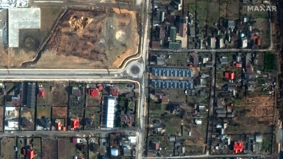
How AFP has used data analysis to cover the Ukraine war / Photo: - - Satellite image ©2022 Maxar Technologies/AFP
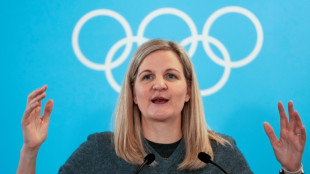
 IMF warns of 'inevitable' AI-powered threats to global financial system

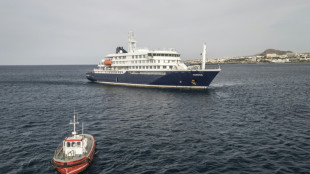
 WHO says now five confirmed cruise ship hantavirus cases
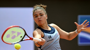
 Sinner demands 'respect' from Grand Slams, Djokovic lends support in prize money row
 Italy's tennis chief wants to break Grand Slam 'monopoly' with new major
 WHO warns of more hantavirus cases in 'limited' outbreak

 Past hantavirus outbreak shows how Andes virus spreads

 UK police officers probed over handling of Al-Fayed complaints
 Brazil must channel World Cup pressure into motivation: Luiz Henrique

 Carrick says strong finish matters more than his Man Utd future
 Sinner demands 'respect' from Grand Slams in prize money row

 Struggling Chelsea have 'foundations for success': interim boss McFarlane

 Defence giant Rheinmetall makes offer for further shipyard

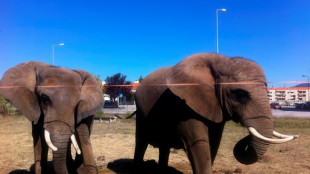 Portugal's last circus elephant becomes pioneer for European exiles

 Mbappe, Mourinho, meltdown: Real Madrid face Clasico amid chaos

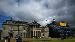 Royal and Ancient Golf Club names first woman captain after 272 years

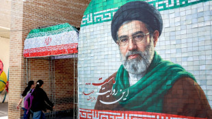
 US awaits Iran response to latest deal offer
 Bangladesh and Pakistan renew rivalry in first Test

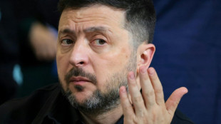 Russia scolds ally Armenia for hosting Zelensky

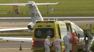
 Latest evacuee from hantavirus-hit cruise lands in Europe

 Women linked to IS fighters return to Australia from Middle East

 Oil sinks, Tokyo leads Asia stock surge on growing Mideast peace hopes

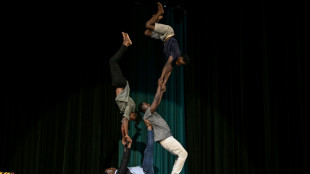 Circus tackles jihadist nightmares of Burkina Faso's children

 Badminton looks to future with 'evolution and innovation'
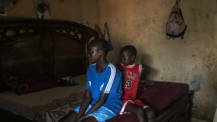 Senegal's children mourn in silence when migrant parents disappear
 Spurs thrash Timberwolves as Knicks edge Sixers in NBA playoffs
Since Moscow launched its full-scale invasion of Ukraine exactly four years ago, AFP has used open-source data and satellite imagery to support reporting by its teams on the ground.
As both sides mark the start of the conflict's fifth year, here is how that information is being used to provide context and information, helping cut through the fog of war.
- Geodata -
Geospatial data -- data describing things based on their location -- has been particularly helpful in coverage of the war.
It has made it possible to map how territorial control by Russian and Ukrainian forces is evolving, and to show movements of the front line in areas that are difficult to cover.
AFP uses material supplied by the Institute for the Study of War (ISW), which works with the American Enterprise Institute's Critical Threats Project (CTP).
These two American think tanks assess and detail daily developments in the conflict using statements from Ukrainian and Russia military commanders, publications by military observers, and satellite images.
They provide the corresponding geospatial files to media outlets, including AFP.
The two organisations sort Russian actions into four categories: territory occupied by Russian troops, areas where attacks and operations are underway without full control, Russian territorial claims that ISW has neither confirmed nor refuted, and, more recently, Russian infiltration missions into Ukraine.
AFP has archived these files and tracked evolutions in these categories from the very first days of the conflict.
- How it's used -
Initially, this data was used to produce maps.
In September 2022, AFP also used it for the first time to quantify the extent of the Russian occupation in four Ukrainian regions that Russia has claimed (Donetsk, Lugansk, Kherson, and Zaporizhzhia).
Since then, AFP has automated area calculations of the geographic files supplied by ISW and cross-references them with the size of Ukrainian regions.
That is done using data by the collaborative mapping project OpenStreetMap.
This has allowed AFP to calculate the size of territory gained or lost by the Russian army.
That includes fully controlled territory, partially controlled areas, as well as more vague Russian territorial claims that ISW has not yet been able to verify.
Russia occupied around 19 percent of Ukrainian territory as of Tuesday, according to this analysis.
Around seven percent, including Crimea and parts of the Donbas, was already under Russian control before the invasion began in February 2022.
- Eyes in the sky -
AFP also enhances its coverage with satellite imagery.
Analysis of satellite images by Maxar Technologies (now Vantor), a US software company specialising in spatial intelligence, proved crucial in covering the Bucha massacre at the start of the war in early April 2022.
At the time, an AFP team observed at least 20 bodies of men in civilian clothing lying in the streets of this town northeast of Kyiv, which Ukrainian soldiers had just retaken from the Russians.
Russia claimed the bodies had been placed there after its troops withdrew, but Maxar's images from mid-March seriously undermined that version of events.
Satellite images have since helped shed light on situations on the ground.
In June 2023, they were used to monitor the Dnipro River's water levels around the Zaporizhzhia nuclear power plant after the destruction of the Kakhovka dam.
X.Brito--PC
